BLOCLEats

South Tyneside Council

Middlefields Depot
Boldon Lane
South Shields
Tyne & Wear
NE340NL

Food rating: ★★★★★ 5/5 stars
Updated: 1. February 2024

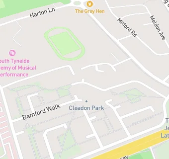
map for South Tyneside Council

Near South Tyneside …

  1. Restaurants & Cafés
  2. 0.3 miles ★★★★★South Tyneside District Hospital, NE340PL
  3. 0.3 miles ★★★★★Temple Park Leisure Centre, NE348QN
  4. 0.3 miles ★★★★★KJR bootsales, NE348QN
  5. 0.3 miles ★★★★★Royal Voluntary Service, NE340PL
  6. 0.4 miles ★★★★★Subway, NE348PL
  7. 0.4 miles ★★★The Chamber Restaurant, NE346QZ
  8. 0.4 miles ★★★★★CAF8, NE348PL
  9. 0.5 miles ★★★★★Harton Hop House, NE346AD
  10. Catering Services
  11. 0.2 miles ★★★★Brinkburn Community Assoc, NE340PJ
  12. Bars & Nightclubs
  13. 0.2 miles ★★★★★The Grey Hen, NE340EN
  14. 0.3 miles ★★★★★The Westside Club, NE346QU
  15. Retail Stores
  16. 0.2 miles ★★★★★League of Friends Shop, NE340PL
  17. 0.3 miles Well Pharmacy, NE348PS
  18. School Food Ratings
  19. 0.2 miles ★★★★★St. Wilfrid's Catholic Academy, NE340PW
  20. Chemists
  21. 0.3 miles Well, NE348PS
  22. Doctors
  23. 0.3 miles Central Surgery, NE348PS
  24. Schools
  25. 0.4 miles Park View School, NE340QA (45 pupils)
  26. 0.5 miles Alternative Education Service - The Beacon Centre, NE340QA (62 pupils)
  27. Schools Primary
  28. 0.4 miles Ridgeway Primary Academy, NE348AB (459 pupils)
  29. 0.5 miles Ashley Academy, NE340QA (407 pupils)
  30. Schools Secondary
  31. 0.3 miles St Wilfrid's RC College, NE340QA (1356 pupils)