Millbrook also T/as Alternative Futures Group
Millbrook also T/as Alternative Futures Group
Millbrook
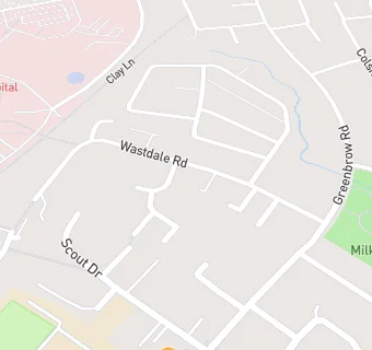
57 Wastdale Road
Manchester
M232RXManchester
Food rating:
★★★★★
5/5 stars
Updated:
Food rating:
★★★★★
5/5 stars
Updated:
See all Care Facilities in Sale.