BLOCLEats

St Paul's High School

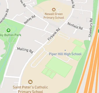
St Pauls High School
Firbank Road
Manchester
M232YS

Food rating: ★★★★★ 5/5 stars
Updated: 24. March 2022

map for St Paul's High School

Near St Paul's …

  1. School Food Ratings
  2. ★★★★★St Peters Catholic Primary School, M232YS
  3. 0.2 miles★★★★★Newall Green Primary School, M232YH
  4. 0.4 miles★★★★★Manchester Enterprise Academy, M229RH
  5. 0.4 miles★★★★★Dixons Newall Green Academy, M232SX
  6. 0.4 miles★★★★★Piper Hill Sixth Form, M232SX
  7. 0.6 miles★★★★★Haveley Hey Community School, M229NS
  8. 0.8 miles★★★★★Benchill Primary School, M228EJ
  9. 0.8 miles★★★★★St John Fisher and Thomas More Catholic Primary School, M229NW
  10. Care Facilities
  11. 0.3 miles★★★★★Millbrook also T/as Alternative Futures Group, M232RX
  12. 0.3 miles★★★★★Paintpots Day Nursery, M232SY
  13. 0.4 miles★★★★★The Farm House, M232TX
  14. Bars & Nightclubs
  15. 0.5 miles★★★★★The Red Rose Inn, M231EU
  16. Chemists
  17. 0.3 milesWell, M232SY
  18. Dentists
  19. 0.3 milesPortway Dental Practice, M221UB
  20. Doctors
  21. 0.3 milesThe Maples Medical Centre, M232SY
  22. 0.3 milesThe Maples Medical Centre, M232SY
  23. Schools
  24. 0.1 milesPiper Hill High School, M232YS (278 pupils)
  25. Schools Primary
  26. 0.1 milesSt Peter's Catholic Primary School, M232YS (254 pupils)
  27. 0.2 milesNewall Green Primary School, M232YH (626 pupils)
  28. Schools Secondary
  29. Saint Paul's Catholic High School, M232YS (927 pupils)
  30. 0.4 milesManchester Enterprise Academy, M229RH (1247 pupils)

See all School Food Ratings in Sale.