Newport Parish Council
Newport Parish Council
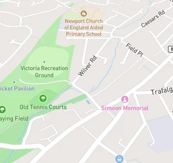
The Pavilion
Recreation Ground Road
Newport
Isle Of Wight
PO305AHNewport
Isle Of Wight
Food rating:
★★★★★
5/5 stars
Updated:
Food rating:
★★★★★
5/5 stars
Updated:
See all Bars & Nightclubs in Newport.