BLOCLEats

Ottershaw Social Club

19 Brox Road
Ottershaw
KT160HG

Food rating: ★★★★★ 5/5 stars
Updated: 16. August 2024

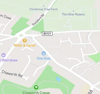
map for Ottershaw Social Club

Near Ottershaw Social …

  1. Bars & Nightclubs
  2. 0.8 miles ★★★★★Hare Hill Social Club, KT151AT
  3. 1.5 miles ★★★Fangrove Residents Club, KT160BN
  4. 1.7 miles ★★★★★The Holly Tree, KT151TN
  5. 1.7 miles ★★★★★Royal Marine, KT160AN
  6. 1.7 miles ★★★★★Chertsey Bowling Club, KT169BW
  7. 1.9 miles ★★★★★White Hart, KT152DS
  8. 1.9 miles ★★★★★New Haw Club and Institute, KT153NA
  9. 1.9 miles ★★★★★Chertsey Social Club, KT169HN
  10. Care Facilities
  11. 0.1 miles ★★★★★Toad Hall Nursery, KT160HH
  12. 0.6 miles ★★★★★Chertsey Parkland Manor Care home, KT169RG
  13. Restaurants & Cafés
  14. 0.1 miles ★★★★★Miller and Carter Chertsey, KT160PQ
  15. Retail Stores
  16. 0.1 miles ★★★★★Shell Little Waitrose Ottershaw, KT160PG
  17. 0.1 miles ★★★★★Trident Garages Ltd, KT160PG
  18. Chemists
  19. Fastheal Pharmacy Ottershaw, KT160HL
  20. Doctors
  21. 0.2 miles New Ottershaw Surgery, KT160JX
  22. 0.2 miles Ottershaw Surgery, KT160JX
  23. Schools
  24. 0.2 miles Meath School, KT160LF (71 pupils)
  25. Schools Primary
  26. 0.3 miles Ottershaw Christ Church Church of England Junior School, KT160JY (235 pupils)
  27. 0.4 miles Ottershaw Christ Church Church of England Infant School, KT160JT (208 pupils)
  28. 1.1 miles Holy Family Catholic Primary School, KT151BP (219 pupils)
  29. 1.1 miles Meadowcroft Community Primary School, KT169PT (86 pupils)