BLOCLEats

Pie Station

6 Fairfields
Chertsey
KT168EA

Food rating: ★★★ 3/5 stars
Updated: 20. September 2023

Food ratings

Confidence in management: 10
Hygiene: 10
Structural: 10
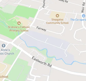
map for Pie Station

Near Pie Station

  1. Retail Stores
  2. 0.4 miles★★★★★Longmans, KT169BQ
  3. 0.4 miles★★★★★Holland & Barrett, KT169AG
  4. 0.4 miles★★★★★J Sainsbury Petrol Station, KT169AG
  5. 0.4 miles★★★★★Carlo Delicatessen, KT169AE
  6. 0.4 miles★★★★★Chertsey Local, KT169AG
  7. 0.5 miles★★★★★The Camping and Caravanning Club Chertsey, KT168JZ
  8. 0.5 miles★★★★★Chertsey Service Station, KT168LA
  9. 0.7 miles★★★★★Shell Budgens Addlestone Service Station, KT152EA
  10. Restaurants & Cafés
  11. 0.1 miles★★★★★Sunset at St Annes, KT168ET
  12. 0.2 miles★★★★★Cor-Lumen Christi Community, KT168BZ
  13. Supermarkets
  14. 0.1 miles★★★★★Tesco Stores Ltd, KT168DX
  15. School Food Ratings
  16. 0.1 miles★★★★★Sunrise & Sunset, KT168ET
  17. 0.2 miles★★★★★Stepgates Community School, KT168HT
  18. 0.2 miles★★★★★Salesian School 6th Form College, KT168BX
  19. Chemists
  20. 0.3 milesChertsey Pharmacy, KT168NF
  21. Doctors
  22. 0.2 milesChertsey Health Centre, KT168HZ
  23. Schools
  24. 0.4 milesPhilip Southcote School, KT152QH (238 pupils)
  25. 0.5 milesSir William Perkins's School, KT169BN (568 pupils)
  26. Schools Primary
  27. 0.1 milesSt Anne's Catholic Primary School, KT168ET (425 pupils)
  28. 0.2 milesStepgates Community School, KT168HT (283 pupils)
  29. Schools Secondary
  30. 0.3 milesChertsey High School, KT152EP (876 pupils)

See all Retail Stores in Chertsey.