Sainsbury's
Sainsbury's
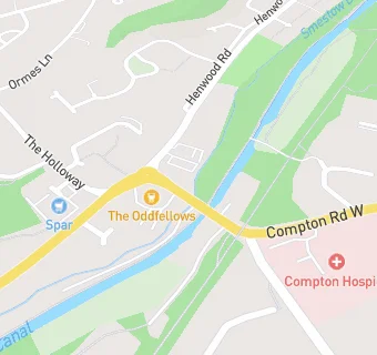
24A Bridgnorth Road
Wolverhampton
West Midlands
WV68AAWest Midlands
Food rating:
★★★★★
5/5 stars
Updated:
Food rating:
★★★★★
5/5 stars
Updated:
See all Supermarkets in Wolverhampton.