The Co-Operative
The Co-Operative
The Cooperative
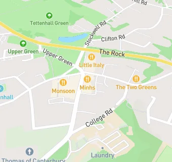
23 - 25 High Street
Tettenhall
Wolverhampton
WV68QSTettenhall
Wolverhampton
Food rating:
★★★★★
5/5 stars
Updated:
Food rating:
★★★★★
5/5 stars
Updated:
See all Supermarkets in Wolverhampton.