Shining Stars
Shining Stars
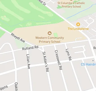
Western Community Primary School
Rutland Road
Wallsend
Tyne And Wear
NE288QLWallsend
Tyne And Wear
Food rating:
★★★★★
5/5 stars
Updated:
Food rating:
★★★★★
5/5 stars
Updated: