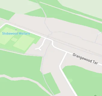
Stobswood Welfare Recreation Club
Stobswood Welfare Recreation Club
Stobswood
Northumberland
NE615PXNorthumberland
Food rating:
★★★★★
5/5 stars
Updated:
Food rating:
★★★★★
5/5 stars
Updated:
See all Bars & Nightclubs in Ashington.