The Kings Head
The Kings Head
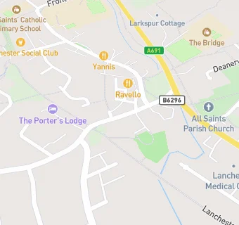
Station Road
Lanchester
Durham
DH70EXLanchester
Durham
Food rating:
★★★★★
5/5 stars
Updated:
Food ratings
Confidence in management: 5
Hygiene: 5
Structural: 5
Food rating:
★★★★★
5/5 stars
Updated:
Food ratings
Confidence in management: 5
Hygiene: 5
Structural: 5
See all Bars & Nightclubs in Lanchester.