Boldon CofE Primary School closed 31. August 2009
Boldon CofE Primary School
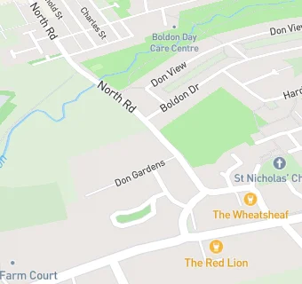
Don Gardens
West Boldon
Sunderland
Tyne and Wear
England
NE360QGSunderland
Tyne and Wear
England
👩🏫 headteacher: Mrs Carol Young
Primary — Voluntary controlled school
- URN
- 108707
- Education phase
- Primary
- Religious character
- Church of England
- Establishment type
- Voluntary controlled school
- Establishment #
- 3000
- Close date
- 31. August 2009
- Reason closed
- Closure
- OSGB coordinates
- Easting: 434911, Northing: 561152
- GPS coordinates
- Latitude: 54.944, Longitude: -1.4566
- Accepting pupils
- 4—11 years old
- Boarders
- No boarders
- Diocese
- Diocese of Durham
- Region › Const. › Ward
- North East › Jarrow › Boldon Colliery