City of Leeds School
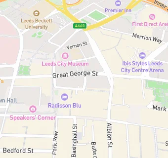
Woodhouse Lane
Leeds
West Yorkshire
England
LS178ANWest Yorkshire
England
Secondary — Community school
- Admissions policy
- Non-selective
- URN
- 127954
- Education phase
- Secondary
- Establishment type
- Community school
- Establishment #
- 4008
- Close date
- 31. August 1992
- OSGB coordinates
- Easting: 430000, Northing: 433900
- GPS coordinates
- Latitude: 53.801, Longitude: -1.5460
- Accepting pupils
- 11—18 years old
- Boarders
- No boarders
- Region › Const. › Ward
- Yorkshire and the Humber › Leeds Central › Little London & Woodhouse