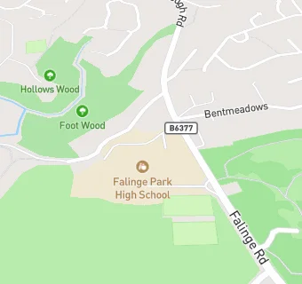
Falinge Park Upper School
Falinge Road
Rochdale
Lancashire
England
OL126LDLancashire
England
Secondary — Community school
- URN
- 127458
- Education phase
- Secondary
- Establishment type
- Community school
- Establishment #
- 4081
- Close date
- 31. August 1990
- OSGB coordinates
- Easting: 388912, Northing: 414290
- GPS coordinates
- Latitude: 53.625, Longitude: -2.1691
- Accepting pupils
- 13—18 years old
- Boarders
- No boarders
- Region › Const. › Ward
- North West › Rochdale › Healey
