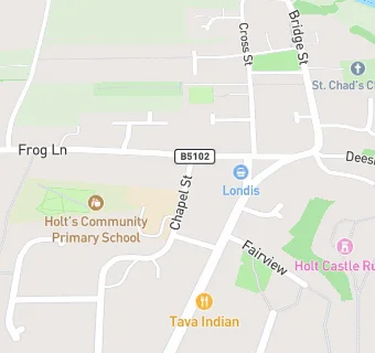
Holt's Community Primary School
Holt's Community Primary School
Chapel Street
Holt
Wrexham
Wales
LL139DJWrexham
Wales
📞 phone: 01829 270021
Welsh establishment
- URN
- 400438
- Establishment type
- Welsh establishment
- Establishment #
- 2235
- OSGB coordinates
- Easting: 340937, Northing: 353865
- GPS coordinates
- Latitude: 53.079, Longitude: -2.8831
- Region › Const. › Ward
- Wales › Wrexham › Holt