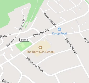
Near The Rofft …
- Schools
- 0.8 milesAll Saints Primary School, LL128RW
- 1.5 milesBarker's Lane C.P. School, LL139TP
- 1.7 milesSt Peter's CIW Voluntary Controlled Primary School, LL120EE
- 1.7 milesPark Community Primary School, LL120TR
- 1.9 milesDarland High School, LL120DL
- 2.0 milesYsgol Llan-y-pwll, LL127TH
- 2.1 milesBorras Park Community Primary School, LL127TH
- 2.2 milesActon Primary, LL128BT
- 2.3 milesSt Christopher's School, LL137BW
- 2.4 milesYsgol Rhosnesni, LL139ET
- 2.4 milesWat's Dyke C.P. School, LL112TE
- 2.5 milesYsgol Bro Alun, LL114NG
- 2.6 milesNoddfa, LL114NT
- 2.6 milesGwersyllt Community Primary School, LL114NT
- 2.7 milesYsgol Morgan Llwyd, LL139NG
- Care Facilities
- ★★★★★T.E.M.P.S, LL128LA
- 0.1 miles★★★★★Marford Little Explorers Ltd, LL128SH
- Restaurants & Cafés
- 0.4 miles★★★★★PlastiPak, LL128LX
- 0.4 miles★★★★★Alf Jones Cycles, LL128NT
- 0.4 miles★★★★★Homestead @ The Old Police Station, LL128NT
- 0.6 miles★★★★★Gresford Fish Bar, LL128NB
- Retail Stores
- 0.4 milesGresford Community Cupboard, LL128EP
- 0.5 milesFood rescue for Gresford and Marford, LL128EY
- 0.5 miles★★★★★Gerrards Shop Gresford, LL128NE
- 0.5 miles★★★★★Spar Store, LL128NE
- 0.6 miles★★★★★Newsagent, LL128NB
- Supermarkets
- 0.1 miles★★★★★Co-operative Store, LL128SL
- School Food Ratings
- ★★The Rofft School, LL128LA
- Takeaway Shops
- 0.6 miles★★★★★Golden city, LL128NE
- 0.6 miles★★★★★Yew Tree Takeaway, LL128PT
See all schools in Gresford