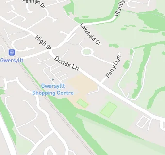
Near Noddfa
- Schools
- 0.1 milesGwersyllt Community Primary School, LL114NT
- 0.5 milesYsgol Bro Alun, LL114NG
- 0.5 milesYsgol Bryn Alyn, LL114HB
- 0.6 milesYsgol Heulfan, LL114HS
- 0.9 milesWat's Dyke C.P. School, LL112TE
- 1.0 mileYsgol Plas Coch, LL112BU
- 1.1 milesBrynteg County School, LL116NB
- 1.2 milesYsgol Penrhyn New Broughton Primary, LL116SF
- 1.2 milesBlack Lane C.P. School, LL116BT
- 1.3 milesRhosddu Primary School, LL112NB
- 1.3 milesActon Primary, LL128BT
- 1.4 milesGorwelion Newydd, LL112NP
- 1.6 milesTanyfron C.P. School, LL115SA
- 1.8 milesAll Saints Primary School, LL128RW
- 1.8 milesSt Mary's Aided Primary School, LL115DA
- Care Facilities
- 0.1 miles★★★★★Playmates, LL114NT
- 0.2 miles★★★★★Parkview Respite Service, LL114DU
- 0.3 miles★★★★★Elm Villa Residential Home, LL114SF
- Catering Services
- 0.3 miles★★★★★Gwersyllt Luncheon Club, LL114ED
- Restaurants & Cafés
- 0.1 miles★★★★★Expresso Coffee And Sandwich Bar, LL114NT
- 0.2 miles★★★★★Wheatsheaf inn, LL114AE
- Retail Stores
- 0.1 miles★★★★★Home Bargains, LL114NT
- 0.1 miles★★★★★Gerrards Confectioners, LL114NT
- 0.1 miles★★★★★Gwersyllt Post Office, LL114NT
- Supermarkets
- ★★★★★Iceland Foods Plc, LL114NT
- 0.3 miles★★★★★Lidl Supermarket, LL114AP
- School Food Ratings
- ★★★★★Gwersyllt Junior School, LL114NT
- Takeaway Shops
- 0.1 miles★★★★★Gwersyllt Fish Bar, LL114NT
- 0.2 miles★★★★★Wing Hing, LL114HT
- 0.3 miles★★★★★Gwersyllt takeaway, LL114DS
See all schools in Wrexham
