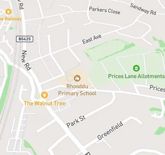
Near Rhosddu Primary …
- Schools
- 0.1 milesGorwelion Newydd, LL112NP
- 0.4 milesYsgol Plas Coch, LL112BU
- 0.5 milesWat's Dyke C.P. School, LL112TE
- 0.6 milesAlexandra C.P. School, LL127AZ
- 0.7 milesActon Primary, LL128BT
- 0.7 milesWoodlands Children's Development Centre, LL137NE
- 0.8 milesSt Mary's R.C. Primary School, LL137NA
- 0.9 milesSt Giles VC Church in Wales Primary School, LL137HD
- 1.0 mileYsgol Rhosnesni, LL139ET
- 1.0 mileVictoria Primary School, LL137RP
- 1.1 milesYsgol Clywedog, LL137UB
- 1.1 milesBorras Park Community Primary School, LL127TH
- 1.2 milesYsgol Llan-y-pwll, LL127TH
- 1.2 milesYsgol Morgan Llwyd, LL139NG
- 1.2 milesSt Joseph's Catholic and Anglican Secondary School, LL137EN
- Care Facilities
- ★★★★★Acorn Playgroup/Stay & Play/Tiny Tums, LL112NB
- 0.1 miles★★★★★Ty Ni Family Centre Flying Start, LL112NP
- 0.1 miles★★★★★Rhosddu Nursery Plus, LL112NB
- 0.1 miles★★★★★Rhosddu Cares Club, LL112NB
- 0.2 miles★★★★★Kids Choice Childcare Ltd, LL112BU
- Catering Services
- 0.3 miles★★★★★Wrexham AFC, LL112AH
- Bars & Nightclubs
- 0.3 miles★★★★★Railway Inn, LL112DL
- Restaurants & Cafés
- 0.2 miles★★★★★Total Fitness Uk Ltd, LL112BU
- 0.3 miles★★★★★The Lemon Tree, LL112LP
- 0.3 miles★★★★★The Salvation Army, LL112NU
- Retail Stores
- 0.1 miles★★★★Premier rhosddu, LL112EE
- 0.2 miles★★★★★Spar Rhosddu Road, LL112NW
- School Food Ratings
- 0.1 miles★★★★★Rhosddu Primary School, LL112NB
- Takeaway Shops
- 0.1 miles★★★★★Dragon City, LL112NG
- 0.1 miles★★★★★Top Nosh, LL112EN
See all schools in Wrexham