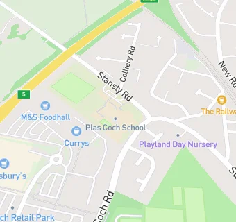
Near Ysgol Plas …
- Schools
- 0.4 milesRhosddu Primary School, LL112NB
- 0.5 milesGorwelion Newydd, LL112NP
- 0.5 milesWat's Dyke C.P. School, LL112TE
- 0.8 milesActon Primary, LL128BT
- 0.9 milesAlexandra C.P. School, LL127AZ
- 1.0 mileNoddfa, LL114NT
- 1.0 mileWoodlands Children's Development Centre, LL137NE
- 1.0 mileGwersyllt Community Primary School, LL114NT
- 1.1 milesYsgol Penrhyn New Broughton Primary, LL116SF
- 1.1 milesYsgol Clywedog, LL137UB
- 1.1 milesSt Mary's R.C. Primary School, LL137NA
- 1.2 milesVictoria Primary School, LL137RP
- 1.2 milesSt Giles VC Church in Wales Primary School, LL137HD
- 1.3 milesYsgol Rhosnesni, LL139ET
- 1.4 milesYsgol Bryn Alyn, LL114HB
- Care Facilities
- ★★★★★Meithrin Mwy Plas Coch, LL112BU
- 0.1 miles★★★★★Stansty Nursing Home Ltd, LL112BU
- 0.1 miles★★★★★Playland Day Nursery, LL112BT
- Bars & Nightclubs
- 0.1 miles★★★★★Railway Inn, LL112DL
- Restaurants & Cafés
- 0.2 miles★★★★★Cafe 89, LL112BA
- 0.2 miles★★★★★Costa Coffee, LL112BA
- 0.2 miles★★★★★Wrexham Tennis Centre, LL112BW
- Retail Stores
- 0.1 miles★★★★★T K Maxx, LL112BA
- 0.1 miles★★★★★Card Factory, LL112BA
- 0.2 miles★★★★★The Range, LL112BA
- Supermarkets
- 0.1 miles★★★★★Sainsbury's, LL112BA
- 0.2 miles★★★★★Marks and Spencer, LL112BA
- 0.2 miles★★★★★Aldi Supermarket, LL112BA
- 0.2 miles★★★★★Farmfoods, LL112BA
- School Food Ratings
- ★★★★★Ysgol Plas Coch, LL112BU
See all schools in Wrexham