Rodley First School
Town Street
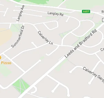
Rodley
Leeds
West Yorkshire
England
LS53BBLeeds
West Yorkshire
England
Primary — Community school
- URN
- 127844
- Education phase
- Primary
- Establishment type
- Community school
- Establishment #
- 2166
- Close date
- 31. August 1992
- OSGB coordinates
- Easting: 423429, Northing: 435392
- GPS coordinates
- Latitude: 53.814, Longitude: -1.6456
- Accepting pupils
- 5—9 years old
- Boarders
- No boarders
- Region › Const. › Ward
- Yorkshire and the Humber › Leeds West › Bramley & Stanningley