St Michael's Roman Catholic Primary School, Whitefield closed - for academy 31. March 2023
redirecting to
St Michael's Roman Catholic Primary School, A Voluntary Academy
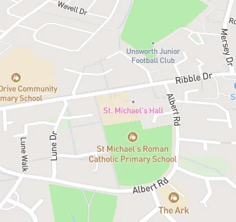
St Michael's Roman Catholic Primary School, Whitefield
Ribble Drive
Whitefield
Whitefield
Lancashire
England
M458NJWhitefield
Lancashire
England
👩🏫 headteacher: Mrs S Bowes
Last updated:
Primary — Voluntary aided school
- URN
- 105348
- Education phase
- Primary
- Religious character
- Roman Catholic
- Establishment type
- Voluntary aided school
- Establishment #
- 3343
- Open date
- 1. January 1900
- Close date
- 31. March 2023
- Reason closed
- For Academy
- OSGB coordinates
- Easting: 381540, Northing: 406036
- GPS coordinates
- Latitude: 53.551, Longitude: -2.2801
- Accepting pupils
- 3—11 years old
- Boarders
- No boarders
- Census date
- 19. January 2023
- Ofsted last inspection
- 22. June 2022
- Diocese
- Diocese of Salford
- Region › Const. › Ward
- North West › Bury South › Besses
- Free school meals %
- 26.90
- Learning provider ref #
- 10070767