Westfield Infant School closed - academy converter 31. May 2019
redirecting to
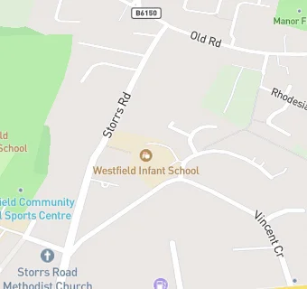
Westfield Infant School
Westfield Infant School
Vincent Crescent
Storrs Road
Chesterfield
Derbyshire
England
S403NWChesterfield
Derbyshire
England
👩🏫 headteacher: Mrs Rachel Risorto
✉️ reveal email: i…@westfield.derbyshire.sch.ukreveal
Last updated:
Primary — Community school
- URN
- 112674
- Education phase
- Primary
- Establishment type
- Community school
- Establishment #
- 2308
- Close date
- 31. May 2019
- Reason closed
- Academy Converter
- OSGB coordinates
- Easting: 435753, Northing: 370810
- GPS coordinates
- Latitude: 53.233, Longitude: -1.4658
- Accepting pupils
- 5—7 years old
- Boarders
- No boarders
- Census date
- 17. January 2019
- Ofsted last inspection
- 27. April 2009
- Region › Const. › Ward
- East Midlands › Chesterfield › West
- Free school meals %
- 9.50
- Learning provider ref #
- 10076491