BLOCLSchools

Woking Peg closed 1. September 1995

Woking Peg
Sherratts House
Mayford Road
Woking
Surrey
England
IP123AZ

Your feedback   +


Pupil referral unit

URN
124922
Establishment type
Pupil referral unit
Establishment #
1106
Close date
1. September 1995
OSGB coordinates
Easting: 499449, Northing: 156090
GPS coordinates
Latitude: 51.295, Longitude: -0.57506
Accepting pupils
5—18 years old
Boarders
No boarders
Region › Const. › Ward
South East › Woking › Heathlands
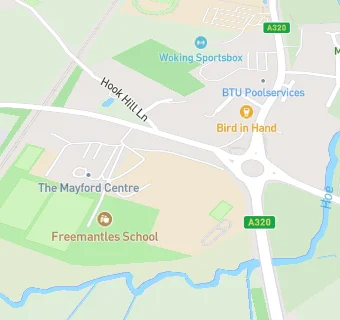
map for Woking Peg

Schools nearby

  1. Woking Peg, IP123AZ
  2. Freemantles School, GU220AN (205 pupils)
  3. 0.1 miles Oaks School, WA128EA
  4. 0.3 miles Hoe Valley School, GU220NH (715 pupils)
  5. 0.5 miles Westfield Primary School, GU229PR (480 pupils)
  6. 0.5 miles Hoefield County Middle School, GU229PR
  7. 0.5 miles Westfield Primary School, GU229PR (441 pupils)
  8. 0.6 miles Barnsbury Junior School, GU220BB
  9. 0.6 miles Barnsbury Infant School, GU220BA
  10. 0.6 miles Barnsbury Primary School, GU220BB
  11. 0.6 miles Barnsbury Primary School and Nursery, GU220BB (449 pupils)
  12. 0.8 miles Westfield First School, GU229NG
  13. 1.2 miles Kingfield Primary School, GU229EQ (248 pupils)
  14. 1.2 miles Kingfield Primary School, GU229EQ (255 pupils)
  15. 1.4 miles Kingsway Centre, GU216NT
  16. 1.4 miles St John the Baptist Catholic Comprehensive School, Woking, GU229AL
  17. 1.4 miles Goldsworth Middle School, GU126ET
  18. 1.4 miles Woking College, GU229DL
  19. 1.4 miles North West Surrey Short Stay School, GU216NT (14 pupils)
  20. 1.4 miles St John the Baptist Catholic Comprehensive School, Woking, GU229AL (1468 pupils)
  21. 1.4 miles Woking College, GU229DL
  22. 1.5 miles Goldsworth Primary School, GU216NL
  23. 1.5 miles Goldsworth First School, IP100SU
  24. 1.5 miles Goldsworth Primary School, GU216NL (618 pupils)
  25. 1.7 miles The Winston Churchill School A Specialist Sports College, GU218TL (1491 pupils)

🚸 schools in Woking