- Blocl
- Schools
- County of Flintshire
- Leeswood
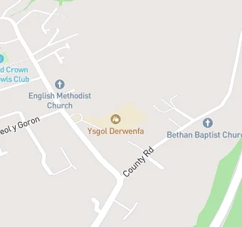
Ysgol Derwenfa
Your feedback +
Welsh establishment
- URN
- 400367
- Establishment type
- Welsh establishment
- Establishment #
- 2092
- OSGB coordinates
- Easting: 327290, Northing: 359780
- GPS coordinates
- Latitude: 53.130, Longitude: -3.0882
- Region › Const. › Ward
- Wales › Delyn › Leeswood
Schools nearby
- Ysgol Derwenfa,
CH74RQ
-
1.7
miles Ysgol Terrig,
CH74LN
-
1.7
miles Ysgol Parc Y Llan,
CH74LN
-
1.9
miles Abbots Lane C.P. School,
CH40HW
-
2
miles Llanfynydd C.P. School,
LL115HG
-
2.1
miles Nercwys CIW Voluntary Aided Primary School,
CH74EW
-
2.3
miles Castell Alun High School,
LL129PY
-
2.4
miles Penyffordd Junior School,
CH40LQ
-
2.5
miles Ysgol Estyn C.P.,
LL129NL
-
2.6
miles Westwood Community Primary School,
CH72JT
-
2.7
miles Buckley Southdown C.P.,
CH72NP
-
2.7
miles St Johns the Baptist V.A. Primary School,
CH40EN
-
2.8
miles Mountain Lane C.P. School,
CH73JA
-
2.9
miles Wat's Dyke Infants School,
CH76UL
-
2.9
miles Elfed High School,
CH73HQ
-
3
miles Abermorddu C.P. School,
LL129DH
-
3
miles Argoed High School,
CH76RY
-
3
miles Ysgol Belmont,
CH73HA
-
3.1
miles Mynydd Isa Junior School,
CH76SJ
-
3.1
miles Drury C.P. School,
CH73EG
-
3.1
miles Mold Alun School,
CH71EP
-
3.1
miles Ysgol Maes Garmon,
CH71JB
-
3.2
miles Ysgol Delyn,
CH71HJ
-
3.3
miles Ysgol Glanrafon,
CH71PS
-
3.3
miles Ysgol Bryn Coch C.P.,
CH71EW
🚸
schools in Leeswood