BLOCLEats

St Andrews Pre School

St. Andrew's Community Church
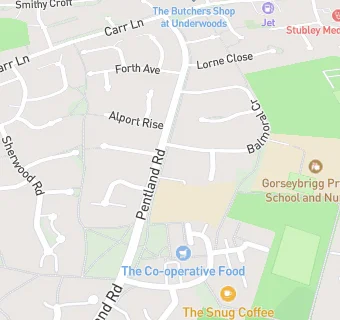
Pentland Road
Dronfield Woodhouse
Dronfield
S188ZQ

Food rating: ★★★★★ 5/5 stars
Updated: 10. January 2023

map for St Andrews Pre School

Near St Andrews …

  1. School Food Ratings
  2. ★★★★★St Andrew's Primary School, S188ZQ
  3. 0.1 miles★★★★★Gorseybrigg Primary School And Nursery, S188ZY
  4. 0.3 miles★★★★★William Levick Primary School, S188YB
  5. 0.3 miles★★★★★Just William Levick Kids Club Ltd, S188YB
  6. 1.0 mile★★★★★Dronfield County Infants School, S181RY
  7. 1.0 mile★★★★★Dronfield County Junior School, S181RY
  8. 1.0 mile★★★★★S L K C (School Lane Kids Club), S181RY
  9. 1.2 miles★★★★★Lenthall Children's Club, S182HB
  10. Care Facilities
  11. ★★★★★St Andrew's Kids Club, S188ZQ
  12. Food Trucks
  13. ★★★★★Thirst Quencher, S188ZQ
  14. Bars & Nightclubs
  15. ★★★★Jolly Farmer, S188ZQ
  16. Restaurants & Cafés
  17. ★★★★All Things Nice Ltd, S188ZQ
  18. Supermarkets
  19. 0.1 miles★★★★★Central England Co-operative Society, S188ZQ
  20. Takeaway Shops
  21. ★★★★★Tiffin Dronfield, S188ZQ
  22. ★★★Pizza Experts, S188ZQ
  23. ★★★★Happy Panda, S188ZQ
  24. Schools Primary
  25. St Andrew's CofE Methodist (Aided) Primary School, S188ZQ (219 pupils)
  26. 0.1 milesGorseybrigg Primary School and Nursery, S188ZY (245 pupils)
  27. 0.4 milesWilliam Levick Primary School, S188YB (207 pupils)
  28. 1.0 mileDronfield Junior School, S181RY (336 pupils)
  29. 1.0 mileDronfield Infant School, S181RY (212 pupils)

See all School Food Ratings in Dronfield.