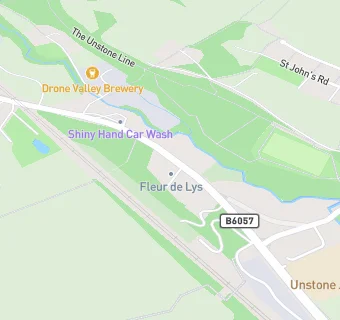
Unstone Junior School
Unstone Junior School
Main Road
Unstone
Dronfield
S184ABDronfield
Food rating:
★★★★★
5/5 stars
Updated:
Food rating:
★★★★★
5/5 stars
Updated:
See all School Food Ratings in Chesterfield.