St Paul's Controlled (CIW) Primary School
Bowling Bank
Isycoed
Wrexham
Wales
LL139RLWrexham
Wales
Welsh establishment
- URN
- 400449
- Establishment type
- Welsh establishment
- Establishment #
- 3043
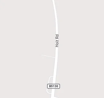
- OSGB coordinates
- Easting: 340045, Northing: 349449
- GPS coordinates
- Latitude: 53.039, Longitude: -2.8956
- Region › Const. › Ward
- Wales › Wrexham › Holt