- Blocl
- Schools
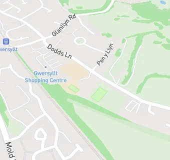
- Wrexham
Ysgol Y Gaer
closed
Your feedback +
Welsh establishment
- URN
- 400440
- Establishment type
- Welsh establishment
- Establishment #
- 2240
- OSGB coordinates
- Easting: 332180, Northing: 353129
- GPS coordinates
- Latitude: 53.071, Longitude: -3.0137
- Region › Const. › Ward
- Wales › Wrexham › Gwersyllt East and South
Schools nearby
- Gwersyllt Junior C.P. School,
LL114NT
- Ysgol Y Gaer,
LL114NT
- Gwersyllt Support centre,
LL114NT
- Noddfa,
LL114NT
-
0.1
miles Ymlaen,
LL284UL
-
0.5
miles Bryn Golau Infants School,
LL114HS
-
0.5
miles Ysgol Bryn Alyn,
LL114HB
-
0.7
miles Ysgol Y Drindod School,
LL114EN
-
0.7
miles Ysgol Heulfan,
LL114HS
-
0.9
miles Wat's Dyke C.P. School,
LL112TE
-
1
mile Ysgol Plas Coch,
LL112BU
-
1.1
miles Brynteg County School,
LL116NB
-
1.2
miles Ysgol Penrhyn New Broughton,
LL116SF
-
1.2
miles Ysgol Penrhyn New Broughton Infants,
LL116SF
-
1.2
miles Ysgol Penrhyn New Broughton Primary,
LL116SF
-
1.3
miles Acton Park Junior School,
LL128BT
-
1.3
miles Black Lane C.P. School,
LL116BT
-
1.3
miles Rhosddu Primary School,
LL112NB
-
1.3
miles Acton Park Infants School,
LL128BT
-
1.6
miles Tanyfron C.P. School,
LL115SA
-
1.7
miles The Groves High School,
LL127AP
-
1.8
miles Alexandra C.P. School,
LL127AZ
-
1.8
miles St Mary's Aided Primary School,
LL115DA
-
1.9
miles Park C.P. Infants School,
LL120TR
-
1.9
miles All Saints Primary School,
LL128RW
🚸
schools in Wrexham